Milan Husár1, Maroš Finka1, Ľubomír Jamečný1, Vladimír Ondrejička1
1Spectra Centre of Excellence of the EU, Slovak University of Technology in Bratislava, Institute of Management, Vazovova 5, 812 43 Bratislava, Slovakia
Within the TPLAB project (Interreg SKHU/1902/4.1/079), which ends on 31 January 2022, a set of training sessions was organized during the winter semester of academic year 2021/2022 at Spectra CE EU, Slovak University of Technology in Bratislava. They took place in hybrid form (physical presence of some participants and online presence of the rest of the participants) and in online form. The trainings focused on the use of GIS desktop applications and in particular on the use of TP LAB web application developed within the project activities. The trilingual spatial data and information platform supported by the Interreg V-A Slovak-Hungarian Cooperation Program was a success, the participants after the core inputs from the trainers were discussing application’s wider use and other opportunities.
Within the training portion of the project, altogether 10 training sessions took place. The first event, ‘Training of Trainers’ was held on November 15th, 2021. The purpose of this session was to provide information to the future trainers from TP LAB at Slovak University of Technology in Bratislava about the system and its advanced use. This information was further mediated to students and other participants across the other sessions.
The following six sessions for students of Spatial Planning (bachelor degree, 1st grade) and other invited participants took place during the winter semester every Tuesday as a part of course dedicated to Geoinformatics from October 19th, 2021 to December 14th, 2021. Besides the TP LAB application, students obtained a course on general use of GIS and its particular use for master plan elaboration. Last three sessions were open sessions for Spatial Planning students (bachelor degree, 1st grade) and other invited students and participants (practitioners, representatives of Association of Urbanists and Territorial Planners of Slovakia, staff members and students from other grades).

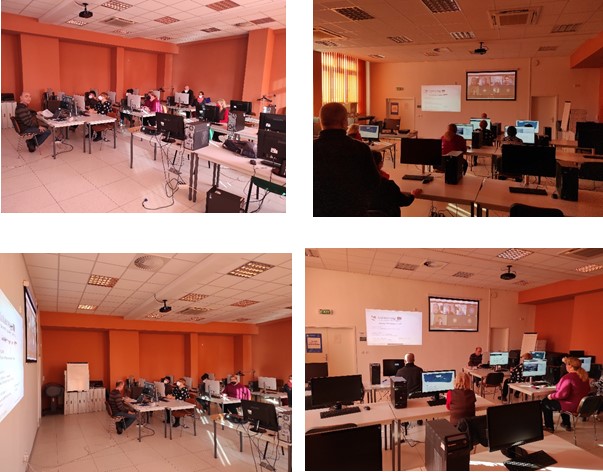
Figure 1: Screenshots from online trainings
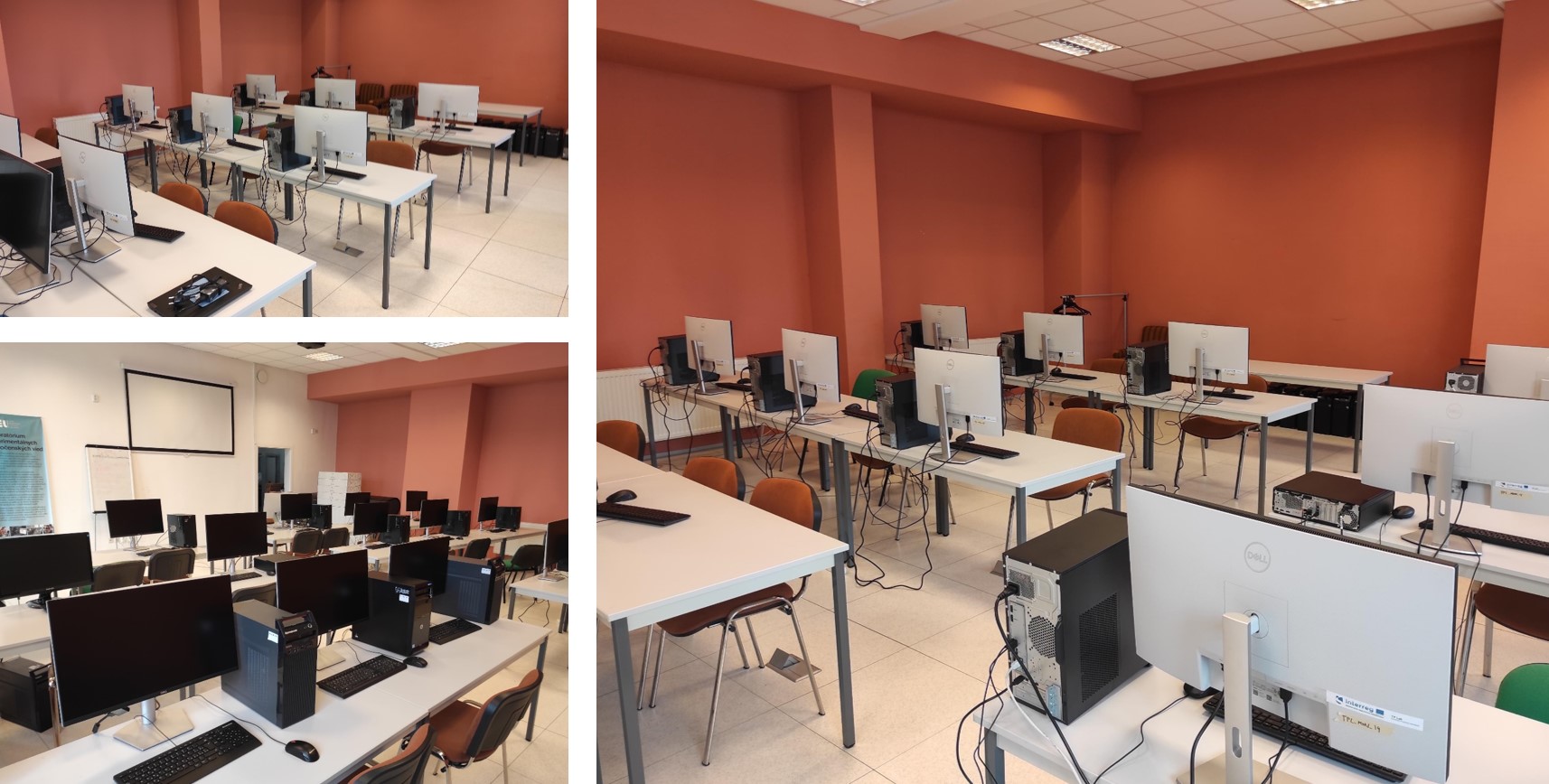
The training sessions took place in the upgraded Living Laboratory in Bratislava at the Slovak University of Technology in Bratislava where there are 12 working stations upgraded to GIS standards where QGIS software is used and where the trainings on the TP LAB Web Service http://tplab.lechnerkozpont.hu/en/web-service took place, too. Participants were using these working stations and their own laptops.
Altogether, there were 243 participants present at these sessions. More specifically, in Training of Trainers event included 8 participants present in the Living Lab + 7 participants present online; Six training sessions for students: 22 students present either in hybrid way or fully online (22 participants * 6 sessions); and three open training sessions for students and other participants (22 participants present either in hybrid way or fully online + 10 other participants (other spatial planning students and staff of the Department of Spatial Planning) (32 participants * 3 sessions).

Figure 2: Living Lab in Bratislava
During the training session, the initial part included a very broad overview of the aspects that may arise during the development of the settlement where we live and our wider environment, for which the application providing information and spatial data. This introduction helps participants to understand the topic, its emergence and why it is necessary to discuss and have it as a project concept. It is crucial to understand that in these surroundings not only our work, but also our everyday life does not stop at the borders of the country. Especially in Central Europe, where nearly all regions are located at some border of national state, there is a need to consider the impacts of the border and the need for harmonized data and data systems. The digital platform is unique and pioneering, with the help of which the institutions, settlements and counties located on both sides of the border can now search for, for example, twinned settlements with similar endowments, ecotourism attractions or planned routes providing connections.
The practical part of the training sessions included informing the participants about the detailed content of the web service through a practical presentation. Pre-defined environmental, social and tourism information for civil society or decision-makers can be accessed in separate windows at the touch of a button or two. For professionals, designers, lecturers and university students, who also perform more complex analyses, a separate area analysis window is available with more data content and its own filtering options. During the presentation of practical examples, we could see, for example, a so-called land use conflict situation, where a planned road runs through nature reserves, or we could look for newly built flats or potential residences where kindergartens and schools can be reached safely.

Figure 3: Hybrid trainings at Living Lab in Bratislava
The TP LAB application is recommended to decision-makers, representatives of local governments, university lecturers and students in spatial planning and GIS, non-governmental organizations dealing with the protection of environmental values, investors looking for a site, development target area, and planners in spatial planning and decision preparation. The project will end on January 31, 2022. The partner institutions operating in Living Labs in Győr and Bratislava are waiting for those interested to test the application and use it online or on site as required.
Contact information and project results are available on TP LAB’s trilingual website http://tplab.lechnerkozpont.hu/.
Acknowledgement
The paper was prepared under TP Lab – Territorial Planning Laboratory Project (project number SKHU/1902/4.1/079) supported by Interreg Slovakia - Hungary.
