Cooperation, workshop, exchange of ideas
It is highly important to harmonize the data service with the needs of local users, as well as the Slovak and Hungarian sides, participants emphasized at the local professional meeting of TP LAB on 31 May. The main goal of the event was to establish cooperation, exchange ideas, and present and discuss the results of the previously posted needs assessment questionnaire.
Following the kick-off meeting at end of the January, the Hungarian partners of the TP LAB project held a local meeting on May 31. Based on the previously prepared partnership plan, the local stakeholders of the project were invited to a local professional meeting at the County Government building of Győr-Moson-Sopron County organized by West-Pannon Nonprofit Ltd. Due to the pandemic, online access to the event was also provided. Several stakeholders from the wider Szigetköz area involved in the development attended the event, such as the Fertő Hanság National Park, the Szigetköz Nature Park Association and the Municipality of Győrladamér.
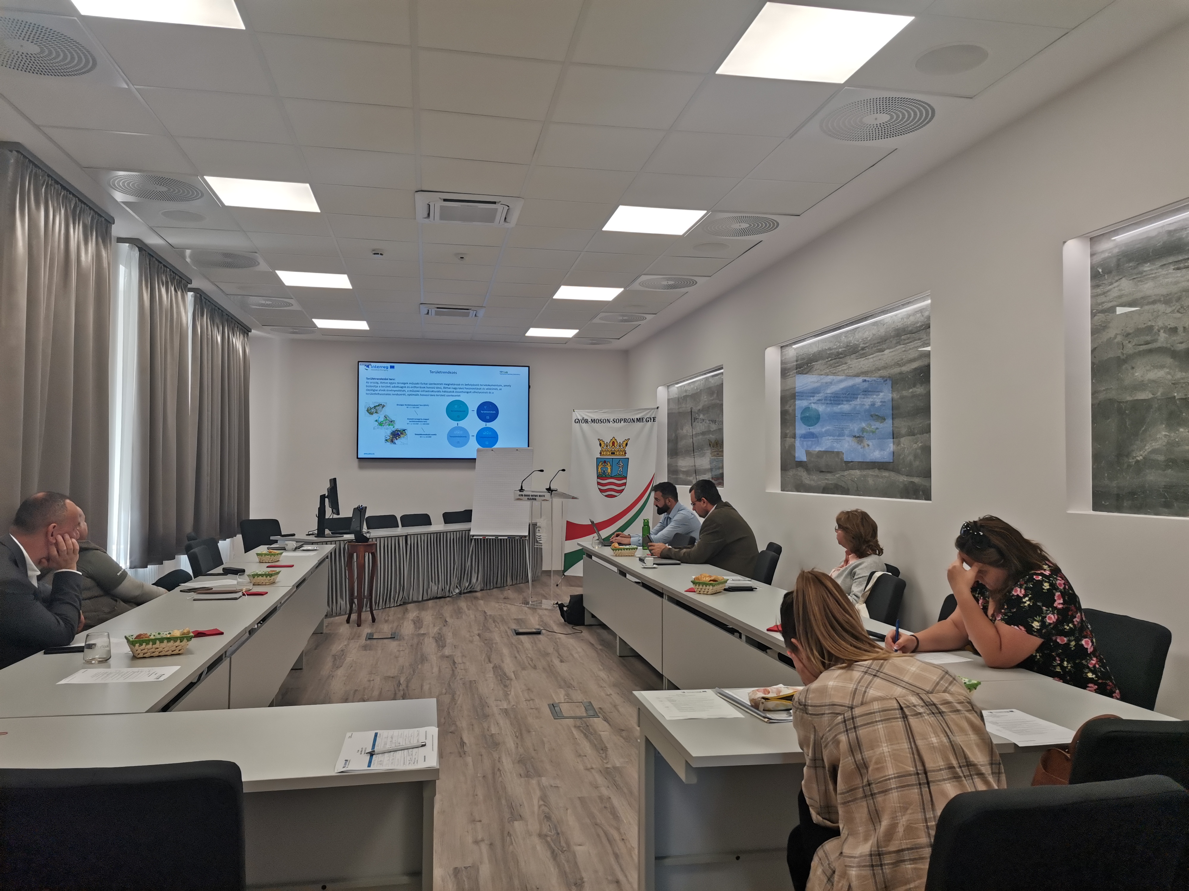
The meeting's location, Municipality of Győr-Moson-Sopron
In the first section of the meeting, in addition to getting to know the activities and goals of the project, the participants present (in person or online) had the opportunity to get to know each other. In the second part, the existing regional databases and information systems, intended to be thought-provoking, were presented, and then the results of the questionnaire exploring local needs were briefly discussed. In the third and final part, the emphasis was on the workshop discussion and exchange of ideas, where everyone could express their opinions and views on the web-based spatial information system. The participants emphasized the importance of harmonizing the data service with the needs of local users, as well as the Slovak and Hungarian sides, and also drew attention to certain data gaps.
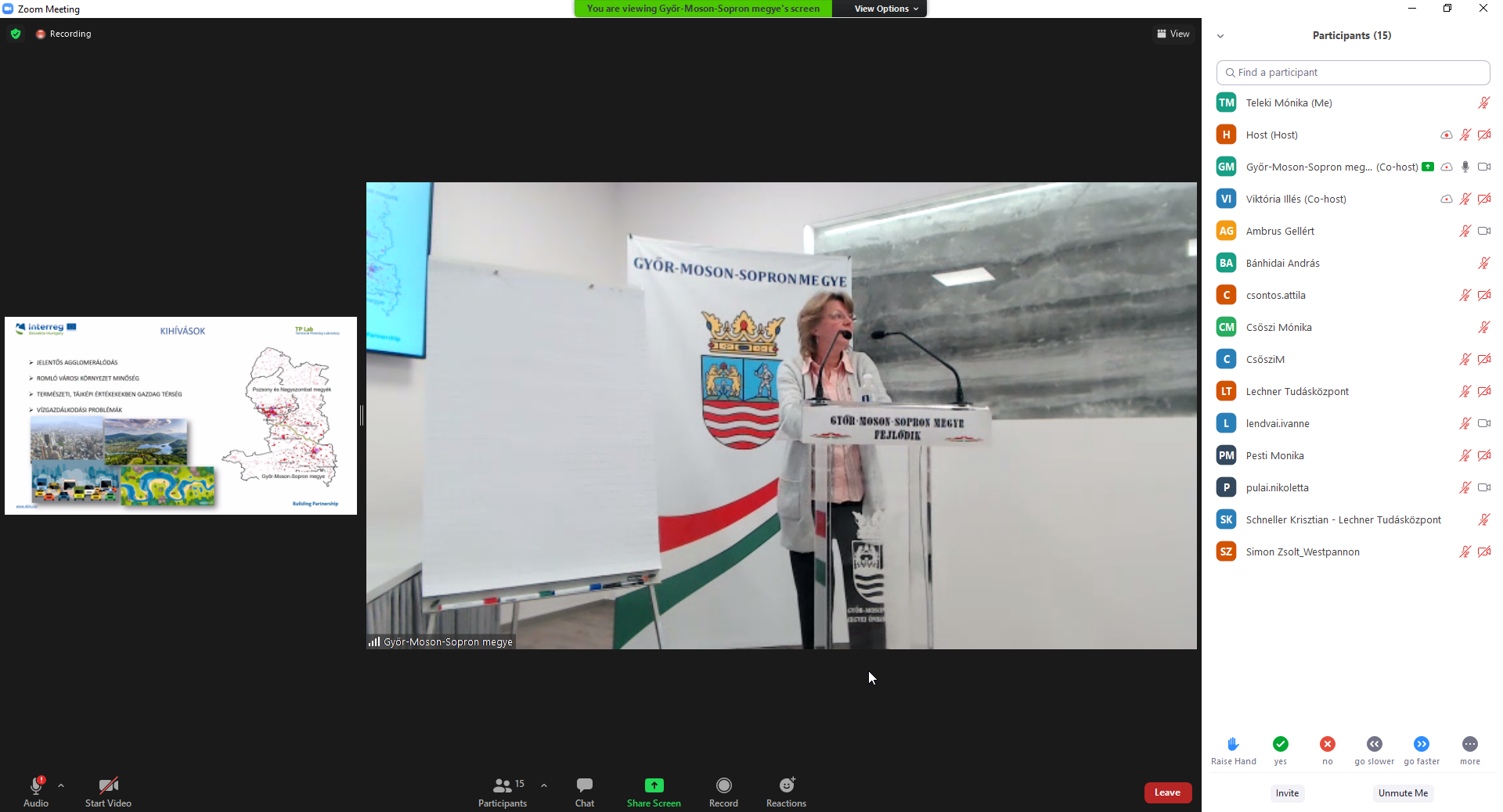
Mariann Majorné Vén held presentation about TP LAB project
Among other things, two important topics were discussed at the meeting regarding the TP LAB project: cross-border cooperation and the GIS Data Service Center (GDSC). Dénes Móricz gave a short presentation on the latter, saying that the GDSC will be a cross-border, central and integrated spatial database, a digital service that can greatly support regional and local planning processes and monitoring.
The GDSC will be designed using 30 indicators within four main topics, providing the user with a data-driven, easy-to-use, visually easy-to-interpret platform. In his presentation, Tibor Polgár, the representative of West-Pannon Nonprofit Ltd., emphasized that the key element of the project is cooperation, as it is the foundation for this multi-stakeholder, multi-territorial, goal-oriented development and community project. Moreover, it is important to have common definitions, to measure data with similar methodology, and to apply and use spatial data, their timeliness and relevance.
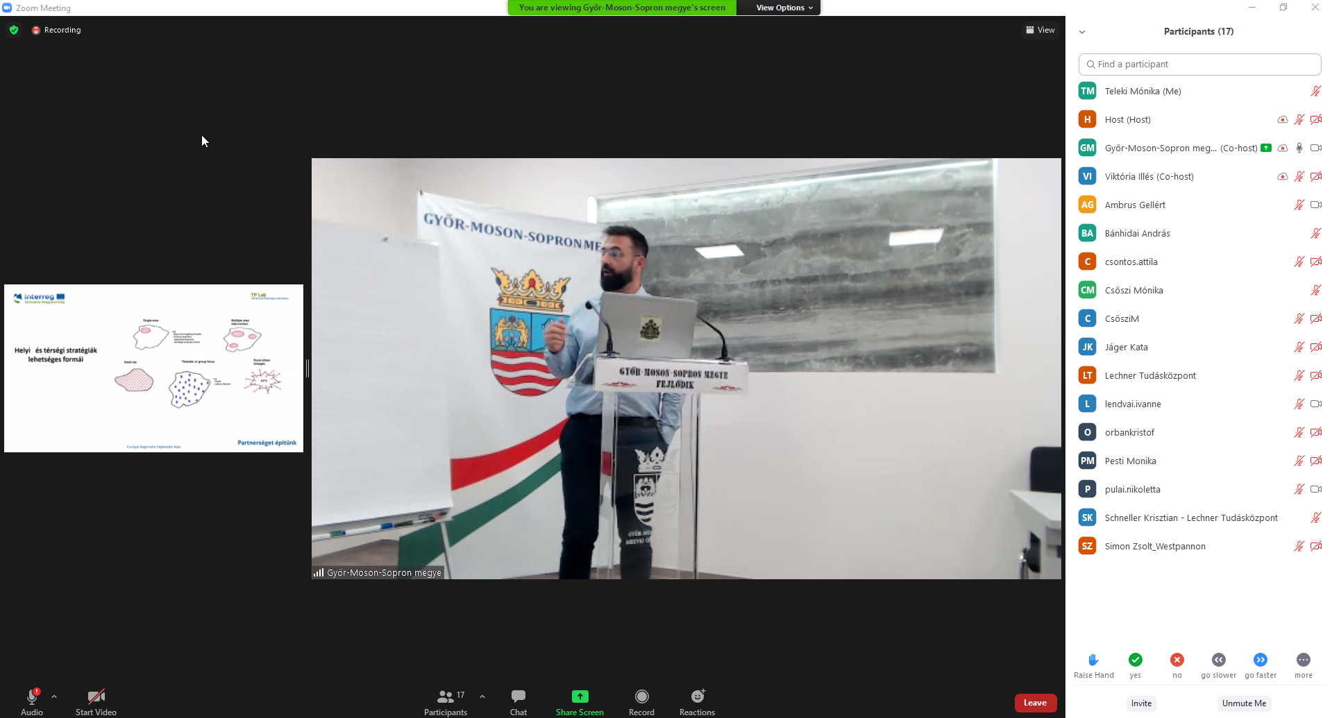
Tibor Polgár held presentation about the local cooperation's aims, process, advantage, data needs
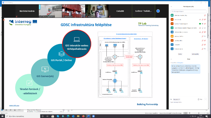
Dénes Móricz held presentation about the designed GIS Data Service Centre (GDSC)
At the meeting, the Lechner Knowledge Center was represented by Majorné Vén Mariann project manager, Lajos Papp head of department, Krisztián Schneller senior spatial planner, András Nagy senior expert and Dénes Móricz GIS expert. As has been said, Lechner has already evaluated and started to organize the available data into a database and will refine it based on the results of the professional meeting and the questionnaire. In the coming months, the Knowledge Center will work on the development of the web service platform with external partners that are willing to participate.
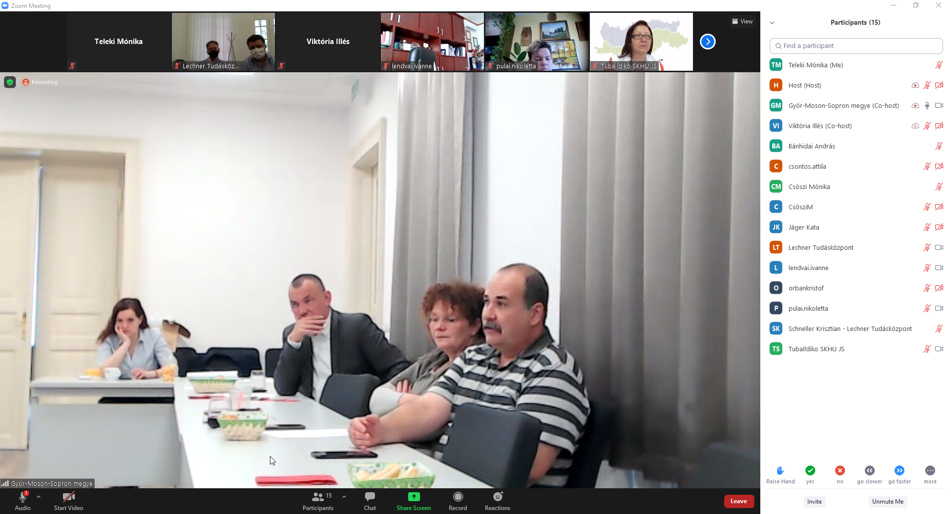
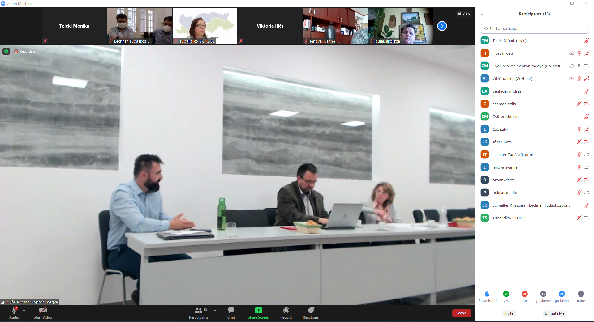
Workshop and idea exchange at the meeting
The main goal of the event was to establish cooperation, exchange ideas, and present and discuss the results of the previously posted needs assessment questionnaire. The results of the questionnaire and the ideas of future users discussed at the local partner meeting provide a good basis for developing the web-based data service of the TP LAB project. The aim is to make digital services as user-friendly as possible and to meet data and information needs.
The next step of the project is a summary analysis based on the results of the needs assessment on the Slovak and Hungarian sides, which will be available for the partnership. In the near future, a local office of Living Lab will be set up, where the tools provided under the project can be used to personally test the system to be developed and provide feedback. An online curriculum will also be developed and trainings will be organized to facilitate the proper use of the service.
The Territorial Planning Laboratory - ie TP LAB, - was launched in October 2020 with the cooperation of two Hungarian and two Slovak institutions dealing with spatial planning and information services.
Within the framework of the TP LAB project, supported by the Interreg V-A Slovakia-Hungary Cooperation Programme, a GIS data and service center will be established for the wider area of Szigetköz (Malý Žitný ostrov) and Žitný ostrov (Csallóköz). The partners of the project are the Institute of Spatial Planning (IPP), the Slovak Univerity of Technology in Bratislava (STU), West-Pannon Nonprofit Ltd. and the Lechner Knowledge Centre in Hungary.
Annex - Remarks at the workshop on data needs:
Szigetköz Nature Park Association - Győr-Moson Sopron County Government, Dr. Péter Pető Vice President
- Infrastructure:
- Spatial plans, utility network plans, traffic data would be needed on both HU and SK side, eg. how utility development fits into the existing network
- Waterway maps on both sides would be very helpful
- There is not enough information about the utilization of utility infrastructure
- Tourism:
- capacities (eg accommodation), there is currently insufficient data on this
- visitor traffic data from the Slovak region
- Social indicators: eg: Szigetköz TDM development program, NTAK (National Tourist Information Center) data available on the Hungarian side, but no Slovak data. For large tourism developments, it would be good to see preliminary parameters, to coordinate the 2 sides
- Matching definitions are key (harmonization of Slovak and Hungarian concepts, thus they would have the same content), as well as matching of actors on both sides.
- Széchenyi István University, Győr: the use of the system could be introduced as a curriculum, or it could be introduced to students in some other way
- tourism data are important; The role of EGTCs (regional and local)
Other:
- Data reconciliation with Slovakia - this strongly filters the range of “presumed” data.
- The age structure, education and health status of the population living in the target area - a well-visualized image would be good on both sides of the border.
- It would be good to see the movement of the population in the agglomeration and catchment area, the agglomeration effect of Bratislava is strongly felt on the other side of the border, Movement in Szigetköz is also important, infrastructure congestion, showing local NGOs, the growth (change) of green areas would be important
Fertő-Hanság National Park Directorate - Csaba Szabó, regional manager
- green areas, corridors; all relevant data (Corine Land Cover, protected areas, landscape values)
- planned linear facilities, areas affected by planned developments (from zoning plans)
- Tourism: traffic data, due to load effect (eg: water traffic, cycling)
- Maps presented by LTK - there were several novelties for the national park as well.
- Demographic movements, eg. in the field of nature education. I would like the demographic data of the settlement by age group, who can be provided with environmental education, and to see the changes in the number of schoolchildren
Győrladamér Municipality - Pappné Kett Adrienn, mayor, former county chief architect
- A unified common basemap would be important, it would be good to show prohibitions and places of conflict by indicating the zones and land-use regulations on both sides. This system would also help prospective private users - e.g. choice of location for investors.
- Development of a user-friendly system
- Common points should be found with the Slovak side
- It is very important to consider civil connection points (schools, associations) on the Slovak side
Lechner Knowledge Center (LTK) - Majorné Vén Mariann TPLAB project manager, Krisztián Schneller senior spatial planner, András Nagy senior expert, Dénes Móricz GIS expert
- Harmonization with the Slovak side is a difficult and important task, it is necessary to use data not at the micro-regional level but at the settlement level
- TEIR (National Regional Development and Spatial Planning Information System) data is available in extremely large quantities, economic data, development potential, attracting investors, distribution of income, land use restrictions that can be extracted from digital professional systems and projects can also be shown, which can help prepare local decisions and in determining the most important indicators (30) in the TPLAB system.
- The availability and usability of data also raise questions, but if the data management appearing on an interactive map cannot be solved, other descriptive data and links to related databases can also be used to help satisfy the user's needs.
- ministerial or regional input is also conceivable (based on Slovak information) with nature conservation-environmental data, Slovak-Hungarian ministerial co-operations should also be explored - Ministry of Agriculture; see also: the karst pilot project on the eastern side of the border area, or the previous joint cross-border spatial structure project of the ministries responsible for regional development.
Determining the next steps:
- Based on the results of the needs assessment on the Slovak and Hungarian sides, a summary analysis will be prepared, which will be available to the partnership - you could find the summary analysis between attachments
- LTK has already evaluated and started to organize the available data into a database and will refine it based on the results of the professional meeting and the questionnaire.
- In the coming months, LTK will work on the development of the web service platform with external partners that are willing to participate.
- in order to harmonize the database, the Slovak and Hungarian needs assessment results and data are expected to be reconciled within 2-3 weeks
- Establishment of a Living Lab (local service office) (responsible partner: West-Pannon Nonprofit Ltd., Győr), in which the developed system can be tested in person, using the tools provided within the project and feedback can be given
- Creating an online curriculum and organizing training to facilitate the proper use of the completed service
| Attachment | Size |
|---|---|
| TP LAB nedd assessment analysis HUN | 2.42 MB |
